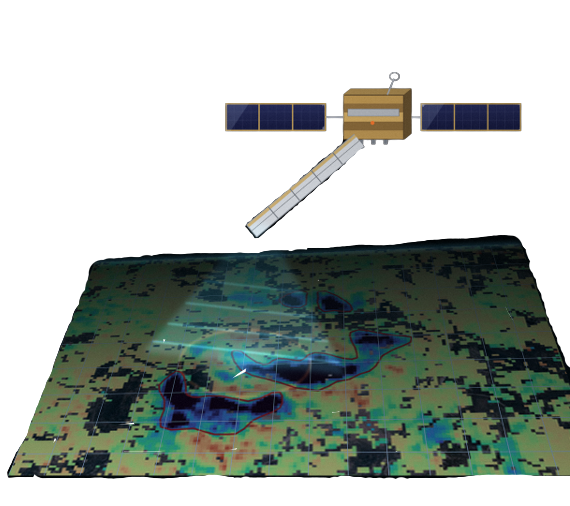
Continuous Monitoring. Precise Insight.
Satellite radar interferometry (InSAR) provides unique insight into ground deformation over large areas with unmatched consistency and coverage.
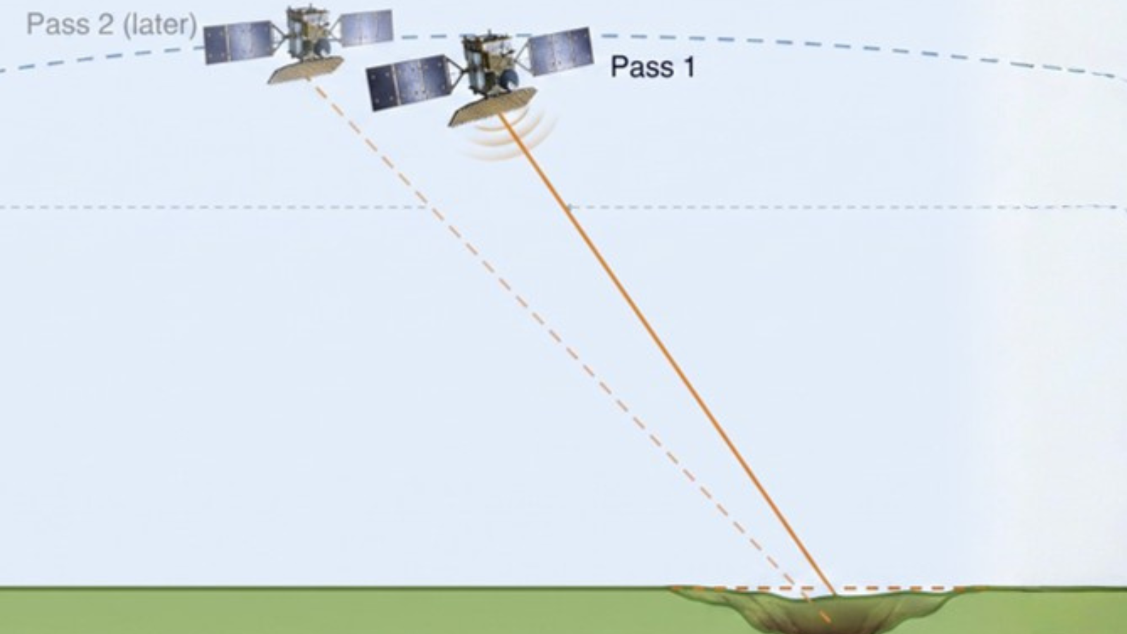
Monitor thousands of sq. km with consistent accuracy.
Detect subtle ground movement with high confidence.
Get insights as fast as every 6 days with Sentinel-1.
Analyze vertical and horizontal movement along the Line-of-Sight.
Understand trends and long-term deformation patterns.
Automated alerts for anomalies and high-risk conditions.
InfraShift supports a wide range of sectors and assets.



EarthSense’s 4D geospatial digital twin platform helps organizations track change, anticipate risks, and prioritize actions to protect critical infrastructure.