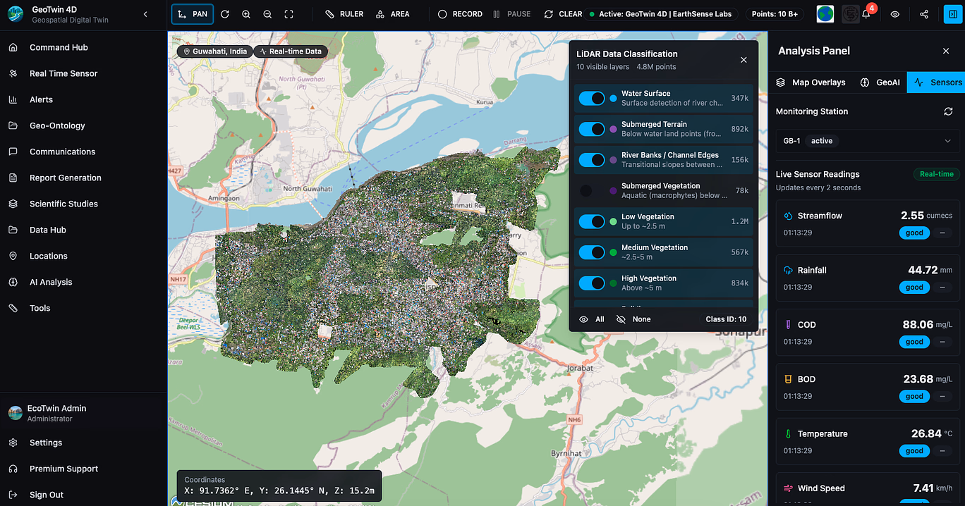
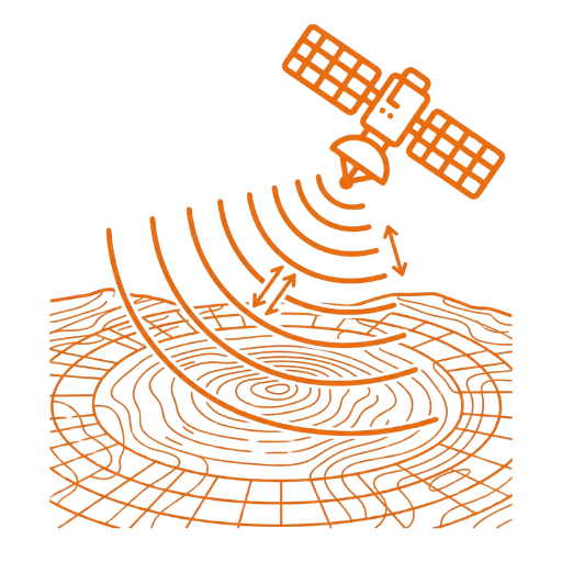
CAPTURE ANY EARTH DATA STREAM AT SCALE
Integrate satellite, UAV, sensor, and IoT feeds into one dynamic environment - continuously refreshed and geo-aligned.
• Seamlessly process terabyte-scale imagery and telemetry with automated ingestion pipelines.
For Field Engineers: Ingest sensor and drone data for near-real-time site intelligence.
For Researchers: Combine multi-sensor datasets (optical, radar, thermal) for enhanced spatial analysis.
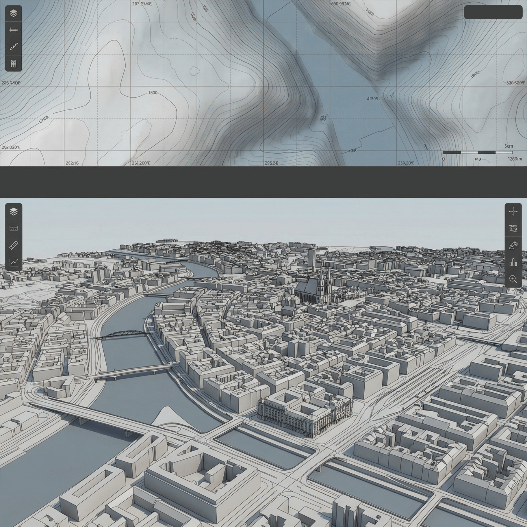
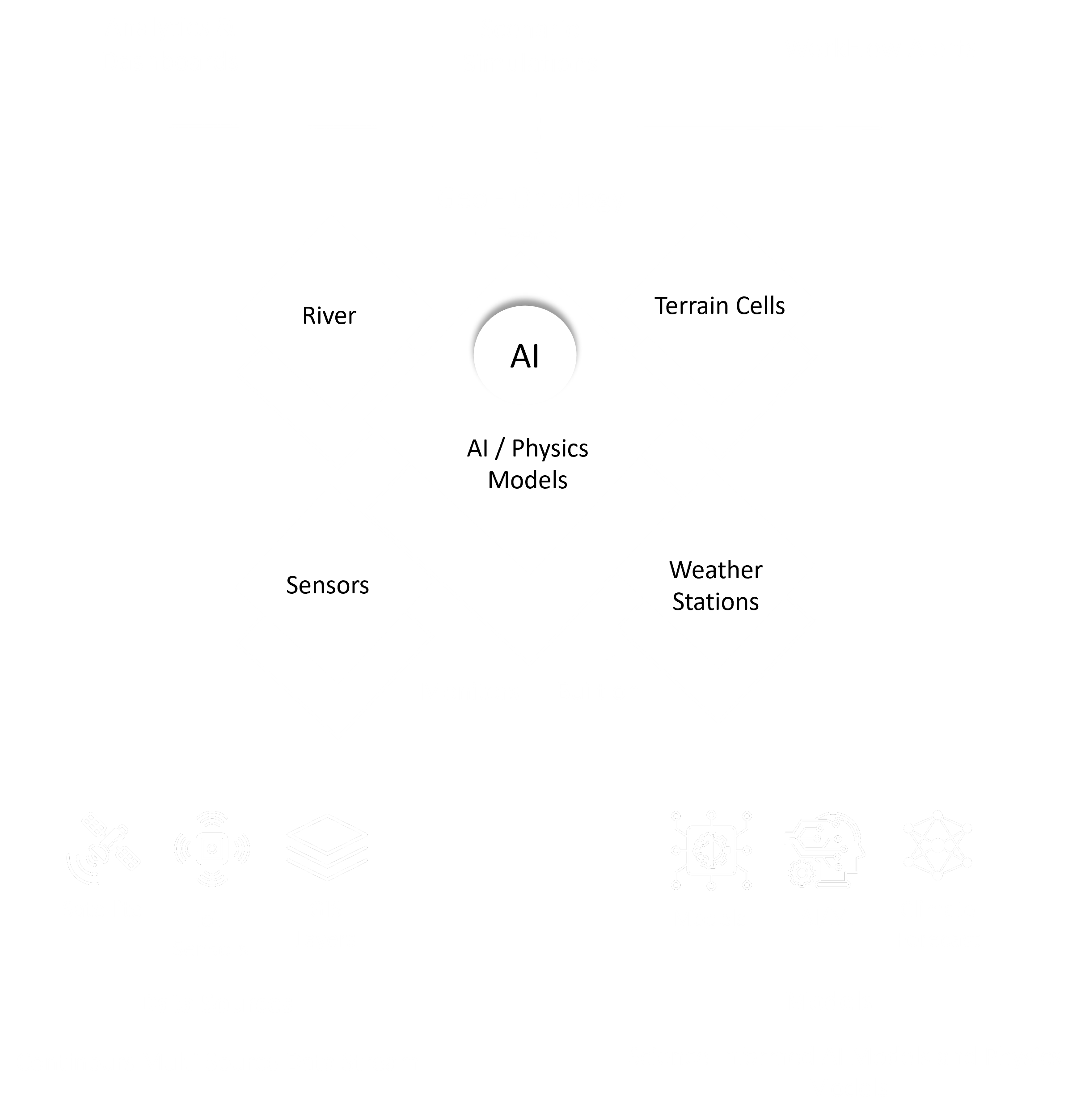
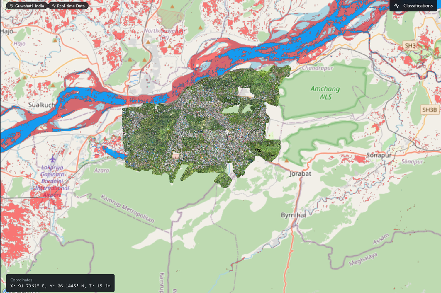
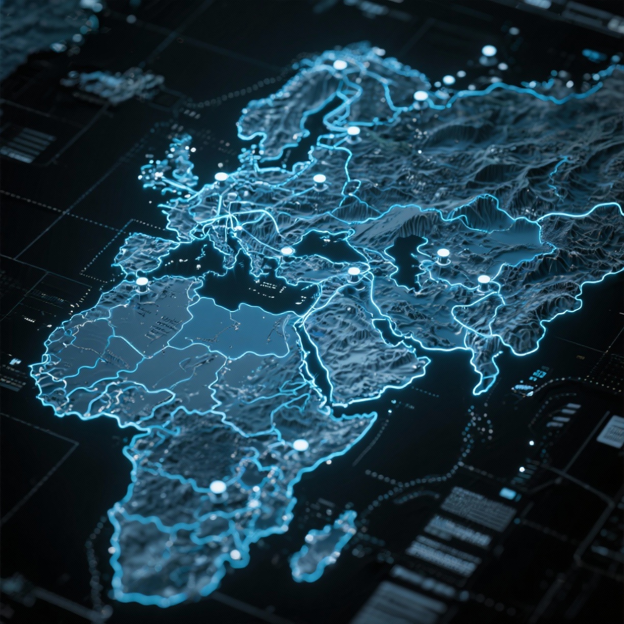
FUSE DIGITAL TERRAIN AND INFRASTRUCTURE LAYERS
Merge elevation, hydrology, urban, and environmental datasets into one unified spatial framework.
• Automatically resolve alignment, projection, and scale differences across data sources.
For City Planners: Blend terrain and infrastructure models for actionable 3D context.
For Developers: Use GeoTwin APIs to integrate digital twins directly into simulation or VR platforms.
FUSE DIGITAL TERRAIN AND INFRASTRUCTURE LAYERS
Detect and predict spatial changes before they occur with physics-informed machine learning.
• Identify land deformation, vegetation growth, or structural stress using time-series analysis.
For Disaster Teams: Receive predictive alerts on floods, landslides, or drought events.
For Utilities: Monitor asset health and environmental interactions continuously.
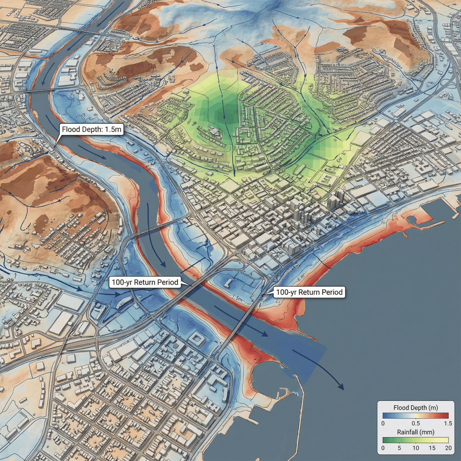
SIMULATE SCENARIOS AND PREDICT IMPACTS
Run data-driven simulations to evaluate future outcomes across climate, infrastructure, or urban systems.
• Test resilience strategies with virtual replicas of real-world environments.
For Policy Makers: Assess infrastructure risks under varying environmental conditions.
For Water Managers: Predict reservoir levels, inflows, and sedimentation with adaptive modeling.
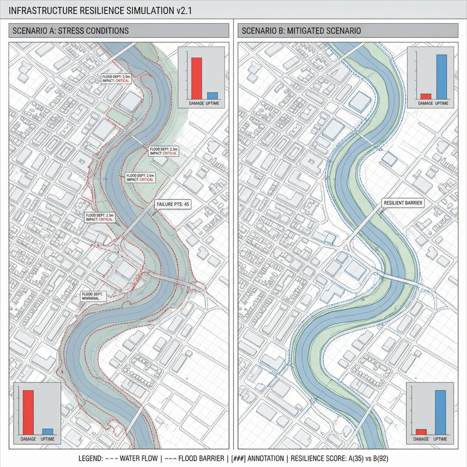
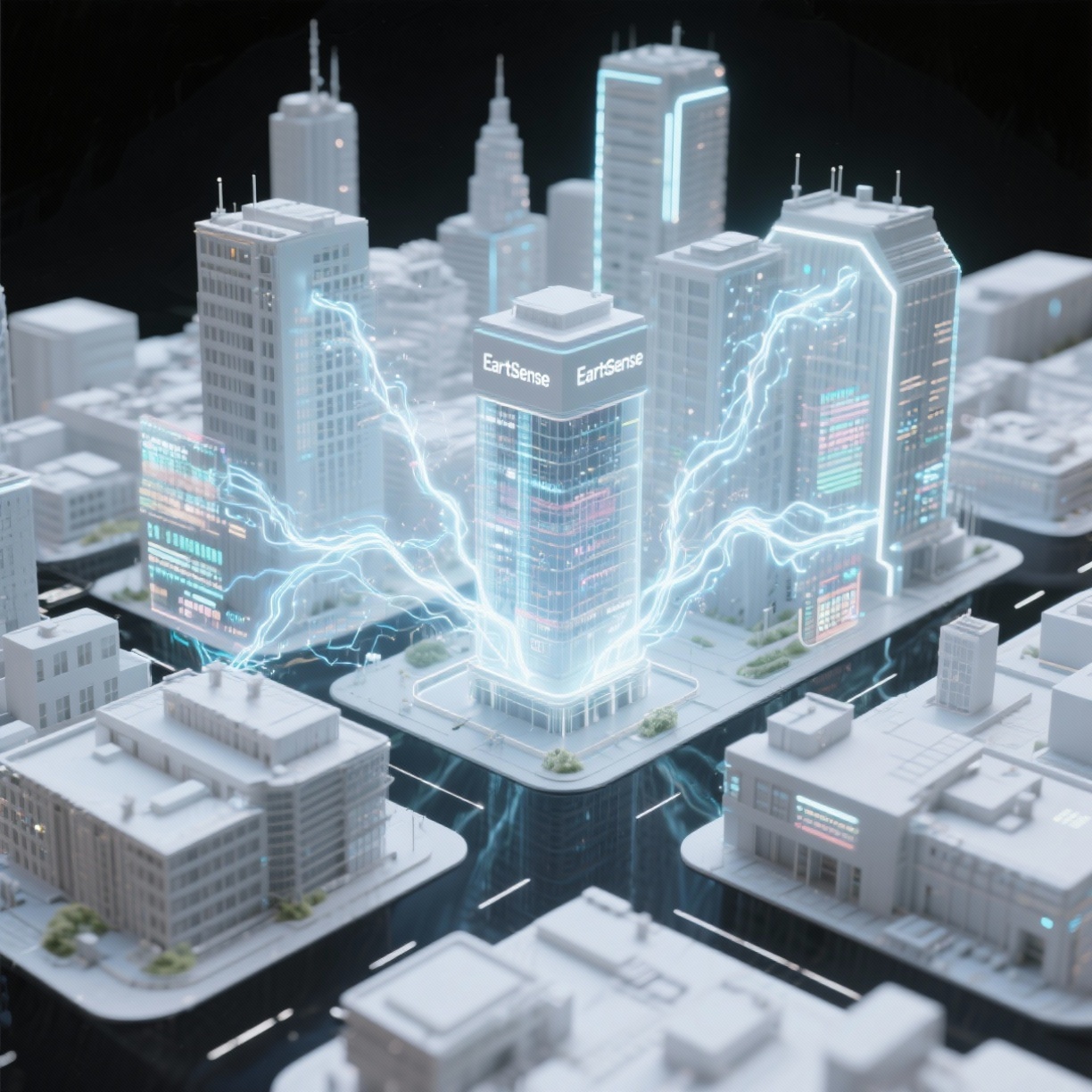
ACTIVATE INSIGHTS ACROSS THE REAL WORLD
Connect GeoTwin outputs directly to dashboards, IoT systems, or control networks for fast decision-making.
• Trigger automated workflows or visual alerts based on data thresholds.
For Operations Teams: Deploy insights in mission-critical workflows with real-time responsiveness.
For Enterprises: Integrate GeoTwin with existing GIS or analytics stacks for end-to-end automation.


.png)

.png)
.png)


.png)


.png)
.png)
.png)
.png)